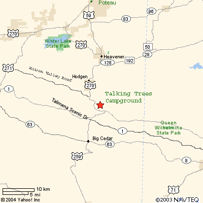
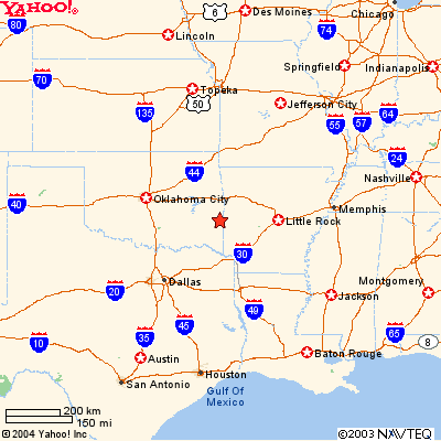
website free tracking
We have maps of all the trials in our area. If you need equestrian trail maps, mountain bike trail maps, hiking trail maps, or where to ride your ATV we have them in our office. You can access all of these trails right from the campgounds.


NEED A HIKING MAP


If you are in need of detailed weather proof hiking maps then contact Charlie Williams at Hiking Trails of the of the Ouachitas & Ozarks. They are absolutely the very best maps you can find anywhere for this area and other areas.
../Pictures/TreesLogoSm.JPG (4126 bytes)

Location Maps


Localmap.gif (10956 bytes)

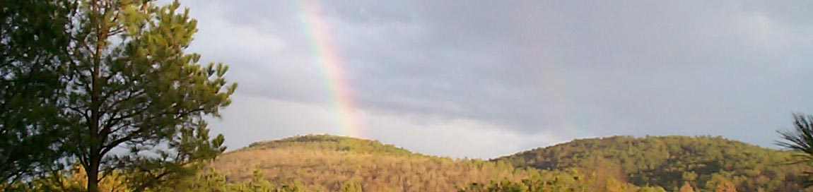
We are close to Heavener, Hodgen, and Big Ceder all in SE Oklahoma

 statemap.gif (15872 bytes)


 Location:

Ouachita National Forest in Southeastern Oklahoma

Pronounce O-Wah-Sha-Taw which means Good Hunting

10 miles South of Heavener, OK on Highway 59/270


For more information call or email

Barbara Tyson Director (918) 653-2187 e-mail icon